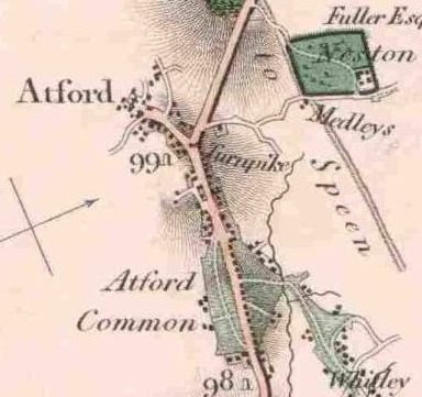
The map on the left is extracted from the 1817 Survey of The High
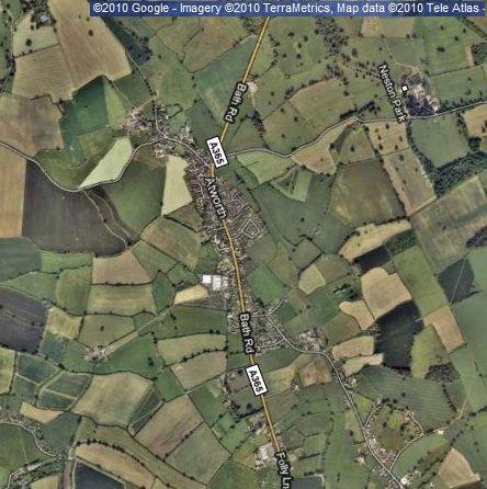
Roads of England and Wales published by Edward Mogg. The map on the left is taken from Google Maps,
satellite view.
[20100501
This site, and its contents,
except where otherwise stated, are
copyright KA Spencer (Software), from August 2006 on.
No part of the site may be used elsewhere for any purpose whatsoever without permission in writing.
Comments to: webmaster@atworth.org.uk
[20060801]